

Bodies Of Water
Lake Of Two Montains
$37.99
Cart
Your cart is empty
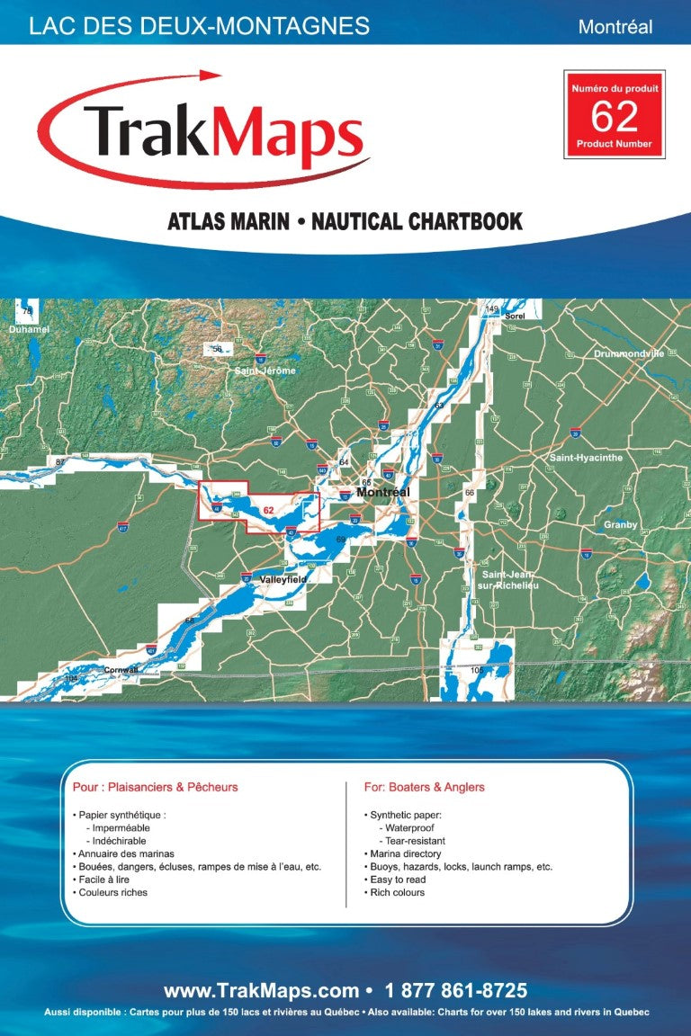
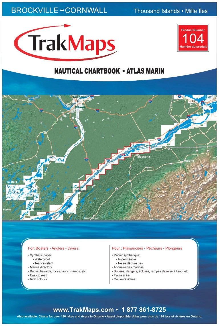
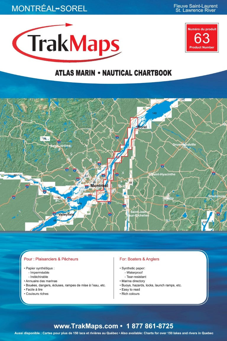
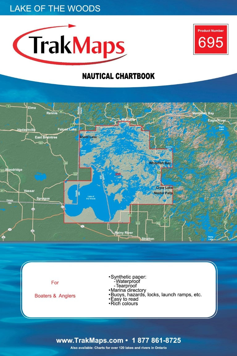
TrackMaps Nautical Chartbook
Lake Of Two Montains
EZOKO Fishing
3540 Griffith Street
Montréal QC H4T 1A7
Canada
Choose options
TrakMaps Nautical Chartbook gives you a clear, durable planning tool for safe boating, fishing, and route preparation. Built for anglers and boaters who still trust paper maps on the water, it helps you read structure, spot access points, and plan your next move with confidence.
We like lake maps like this for doing the homework at home: mark promising areas, compare access options, and test spots that match your favourite species.
Plan smarter before you launch, then keep a dependable chartbook close when conditions change.

Get product drops, restocks, seasonal picks, and useful fishing content in your inbox.