Navionics
Navionics Platinum+ Canada, East & Great Lakes - Lakes, River And Coastal Marine Charts
Navionics Platinum+ Canada, East & Great Lakes - Lakes, River And Coastal Marine Charts
Humminbird/Lowrance
EZOKO Fishing
3540 Griffith Street
Montréal QC H4T 1A7
Canada
This chart is not designed for Garmin devices. Please refer to Garmin Navionics for Garmin-compatible products.
For all other devices, check compatibility here:
GPS Plotter Cards Compatibility Guide (EN)
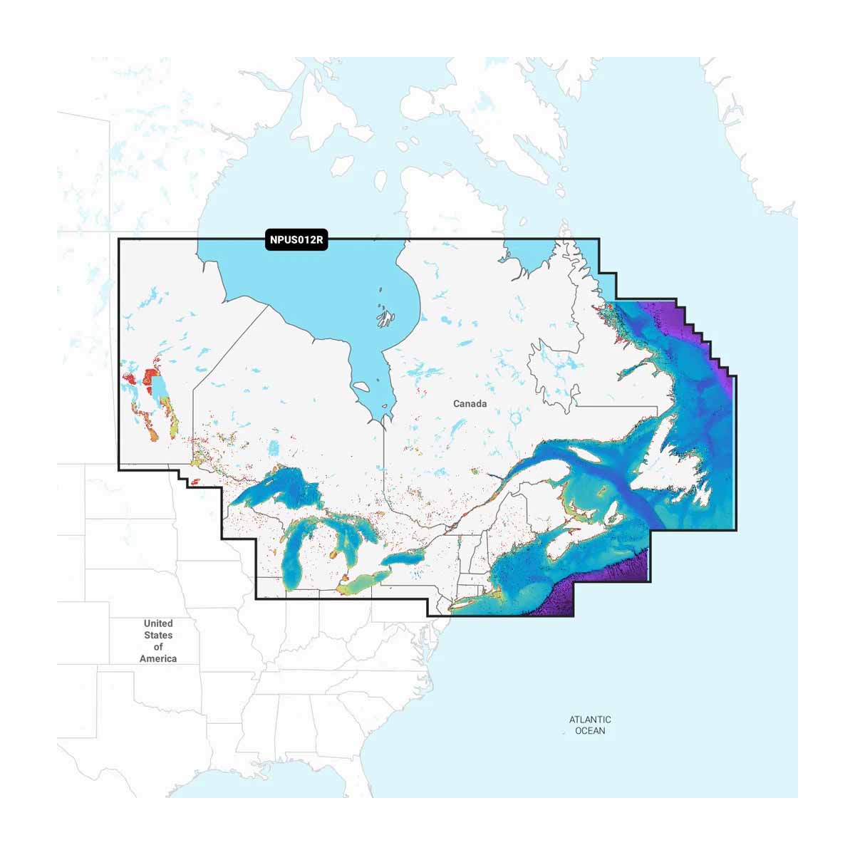
You want total confidence on the water—Navionics Platinum+ Canada, East & Great Lakes delivers just that. Covering a massive range of lakes, rivers, and coastal zones, this premium marine chart gives serious boaters and anglers an unmatched edge in navigation. Designed for precision and clarity, Platinum+ charts combine highly detailed inland and offshore mapping with advanced features like 3D View, satellite overlay, and panoramic port photos. Whether you're chasing fish or charting a weekend cruise, this card puts everything you need at your fingertips.
Compatible with a wide range of chartplotters (excluding Garmin), it's built to enhance every trip with intuitive, real-time confidence.
Why Serious Anglers Trust Navionics Platinum+ Canada, East & Great Lakes
- Comprehensive coverage – Lakes, rivers, and coastal waters in one card, tailored for Eastern Canada and the Great Lakes region.
- Premium features – 3D View, satellite imagery, and port photos help visualize terrain and structure like never before.
- Daily updates for a year – Stay current with one year of free updates via the Navionics Chart Installer.
- Easy plug-and-play – microSD/SD™ format fits most major chartplotter brands—except Garmin.
Technical Specifications
- Type: Marine chart (microSD/SD format)
- Coverage Area: Canada East, Great Lakes, Lakes, Rivers & Coastal waters
- Features: 3D View, Satellite Overlay, Panoramic Photos
- Compatibility: Most chartplotters except Garmin
- Subscription: Includes 1-year of daily updates
Ready to navigate smarter? Upgrade your mapping game with Navionics Platinum+ Canada, East & Great Lakes—clarity, coverage, and confidence in one powerful card.
