Navionics
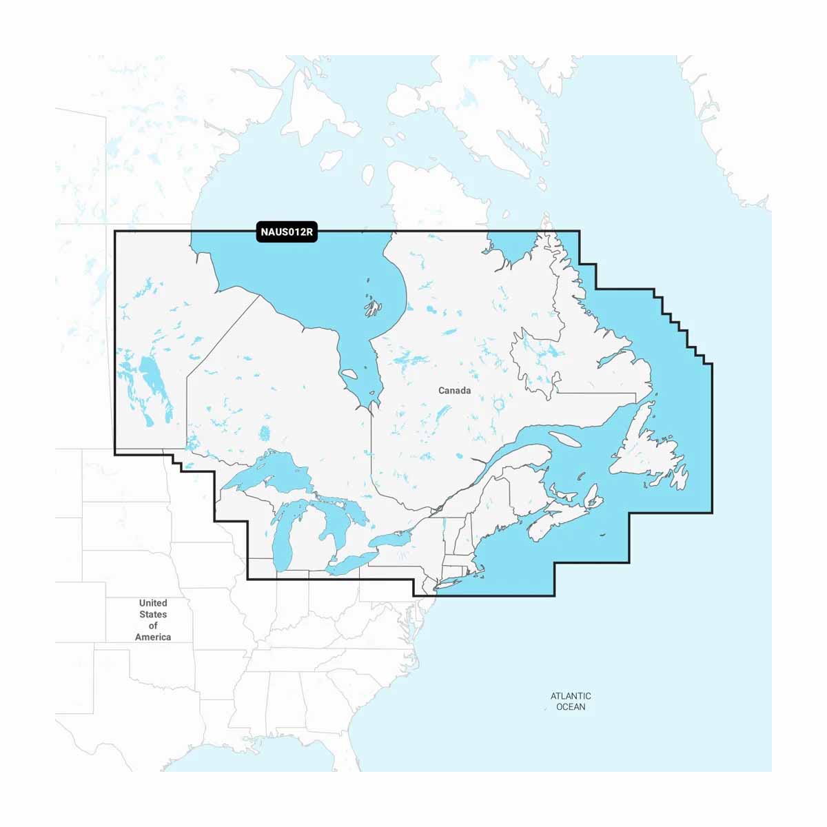
Navionics+ Canada, East & Great Lakes - Lakes, Rivers And Coastal Marine Charts
Navionics+ Canada, East & Great Lakes - Lakes, Rivers And Coastal Marine Charts
Humminbird/Lowrance
EZOKO Fishing
3540 Griffith Street
Montréal QC H4T 1A7
Canada
This chart is not designed for Garmin devices. Please refer to Garmin Navionics for Garmin-compatible products.
For all other devices, check compatibility here:
GPS Plotter Cards Compatibility Guide (EN)
When your day on the water depends on precision navigation, Navionics+ delivers. This all-in-one marine navigation card offers clear, reliable inland and coastal chart coverage across Canada, Eastern regions, and the Great Lakes—right from a microSD™/SD™ card. Whether you’re exploring backcountry rivers or threading through busy harbors, Navionics+ puts advanced guidance features and detailed mapping at your fingertips. Trusted by serious boaters and compatible with leading chartplotter brands, it’s your go-to tool for confident routing—just not on Garmin units. (For that, you’ll need Garmin Navionics+™.)
Why Serious Navigators Trust Navionics+
- Comprehensive coverage – Includes Canadian inland lakes, rivers, East Coast waters, and the Great Lakes.
- Advanced features – Gain access to SonarChart™, Dock-to-dock autorouting (on compatible devices), and community edits.
- Easy install – Preloaded on microSD™/SD™ card—just plug into your compatible chartplotter.
- Wide compatibility – Works with many major chartplotter brands (excluding Garmin).
- One-year subscription – Stay up to date with downloadable updates and new chart layers.
Technical Specifications
- Type: Marine Navigation Card
- Format: microSD™/SD™
- Coverage Area: Canada, East Coast, Great Lakes (Lakes, Rivers, Coastal)
- Subscription: 1 year of updates included
- Compatibility: Select chartplotter brands (Not compatible with Garmin units)
- Features: SonarChart™, Dock-to-dock autorouting (device-dependent), daily updates
Ready to Navigate with Confidence?
Avoid second-guessing your route. Drop Navionics+ into your chartplotter and start exploring with chart-level clarity.
