
Navionics
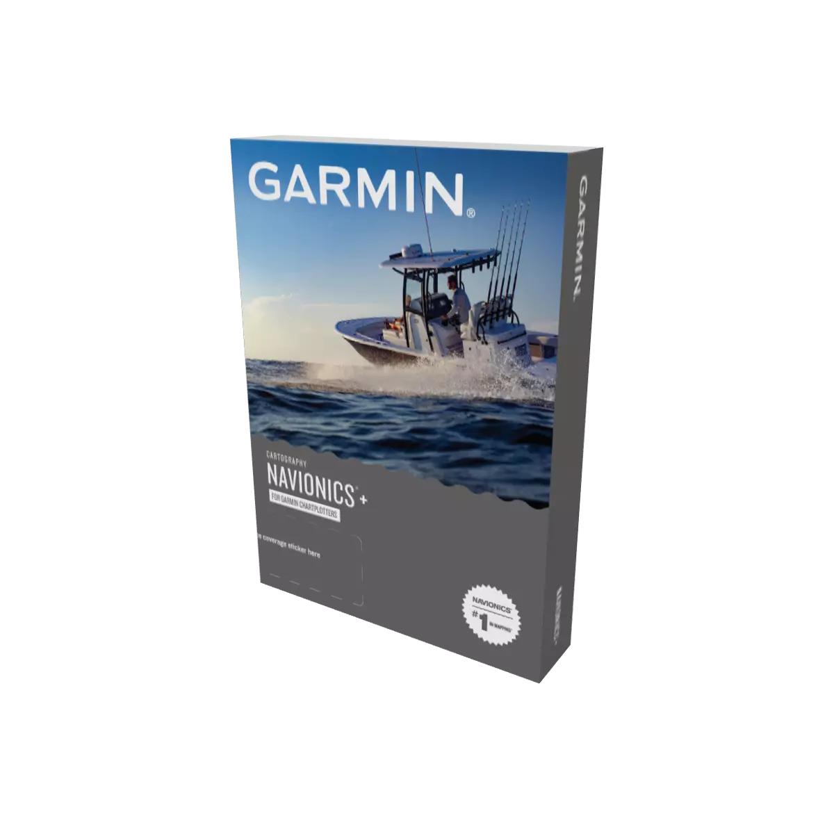
Garmin Navionics+ Canada, East & Great Lakes - Lakes, Rivers and Coastal Marine Charts
Use for:Garmin
Quantity:
Free Shipping on orders over 149$
Pickup available at EZOKO Fishing
Usually ready in 4 hours
Garmin Navionics+ Canada, East & Great Lakes - Lakes, Rivers and Coastal Marine Charts
Garmin
EZOKO Fishing
Pickup available, usually ready in 4 hours
3540 Griffith Street
Montréal QC H4T 1A7
Canada
Choose options
Use for:Garmin
Quantity:
Use for:Garmin
Quantity:
*****For Garmin device only, see Navionic+ and Navionics+ Platinum for Humminbird and Lowrance device*****
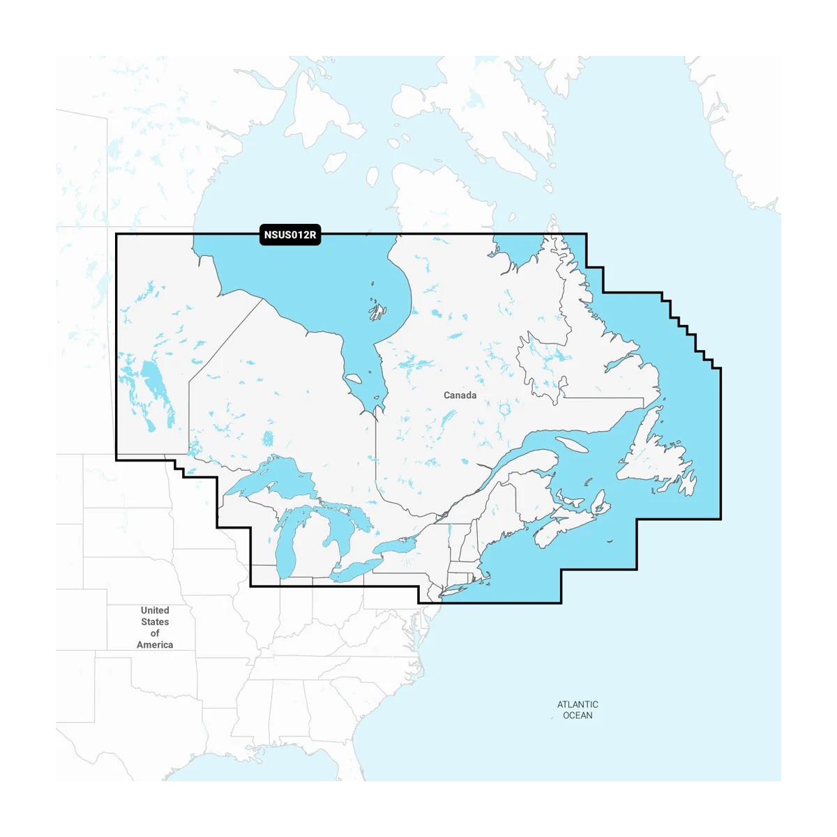
Garmin Navionics+ Canada East & Great Lakes (NSUS012R)
Get complete coverage in one card. Garmin Navionics+ Canada East & Great Lakes gives you detail-rich marine and inland mapping for Eastern Canada—lakes, rivers and coastal water—optimized for Garmin chartplotters.
Why it helps you catch and navigate better
- Faster decisions with Auto Guidance+: suggested routes based on your safe depth and overhead clearance.
- Confident depth reading: depth-range shading lets you color your target depths for instant awareness.
- Sharper structure tracking: tight contour detail reveals humps, breaks and channels for precise boat control.
- Avoid skinny water: user-defined shallow-water shading highlights hazards before you’re on them.
- Paper-chart perspective: optional NOAA raster cartography (via ActiveCaptain) for a classic look where available.
- Local knowledge on tap: ActiveCaptain Community POIs for marinas, ramps, hazards and more.
- Always up to date: 1-year subscription for daily chart updates via the ActiveCaptain app.
Coverage
Eastern Canada (excluding YT and NU), including all Great Lakes, the St. Lawrence River, the Maritime Provinces and the Grand Banks.
Tech Specs — Garmin Navionics+ Canada East & Great Lakes
- Model: NSUS012R
- Card format: microSD with SD adapter
- Content: coastal + inland (lakes, rivers, marine)
- Updates: 1-year subscription for daily chart updates (ActiveCaptain app)
- Auto Guidance+: Yes (route suggestions using chart data and user safe-depth/clearance)
- Depth range shading: up to 10 colors (user selectable)
- Contours: up to 1-foot
- Shallow-water shading: user-defined threshold
- Raster cartography: NOAA raster available for select U.S. waters via ActiveCaptain
- Community data: ActiveCaptain marinas, anchorages, hazards, businesses
Ready to run new water with confidence? Add to cart and update before launch day.
