


Garmin
Garmin GPSMAP 743xsv Chartplotter with SideVü, ClearVü, CHIRP Sonar and Mapping

Choose options
The Garmin GPSMAP 743xsv is a 7-inch touchscreen marine chartplotter combining navigation, built-in sonar and Garmin Navionics+ mapping in a compact, network-capable display. Designed for anglers who want detailed underwater imaging and reliable navigation, it supports traditional CHIRP sonar along with Ultra High-Definition ClearVü and SideVü scanning sonar.
With 1 kW traditional CHIRP sonar capability, built-in ClearVü and SideVü, and support for Garmin LiveScope and Panoptix systems, the GPSMAP 743xsv is a versatile choice for fishing boats requiring advanced fish-finding technology and connectivity with other marine electronics.
WHY THE GARMIN GPSMAP 743xsv WORKS
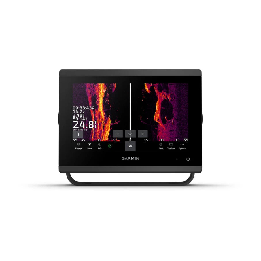
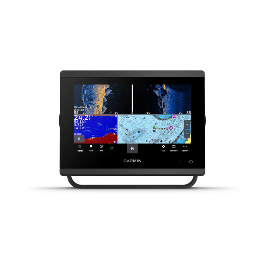
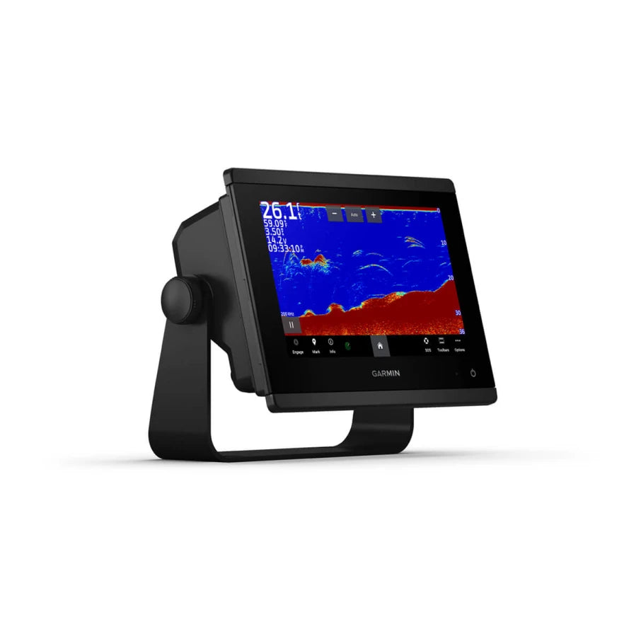
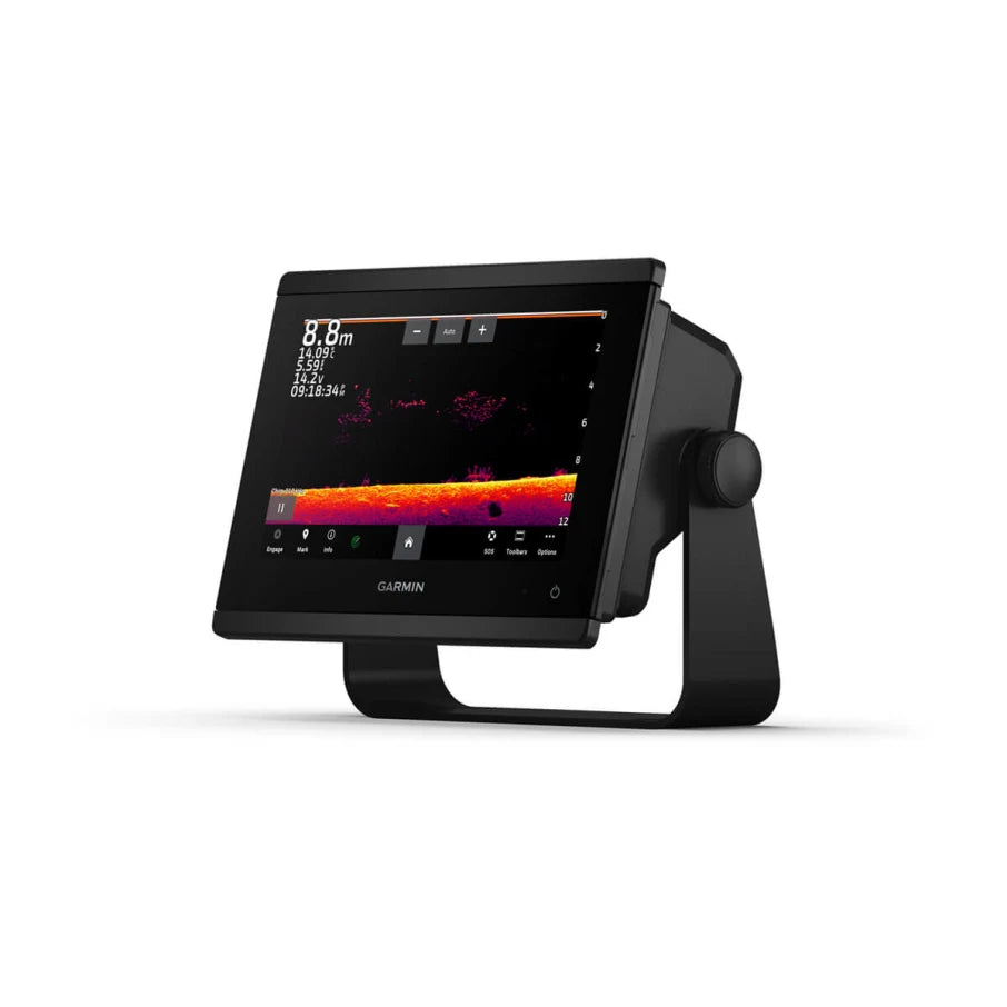
- Three Built-In Sonar Technologies: Traditional CHIRP sonar helps identify fish and bottom structure, while ClearVü provides detailed views below the boat and SideVü scans to either side. Ultra High-Definition scanning sonar helps distinguish fish from surrounding structure.
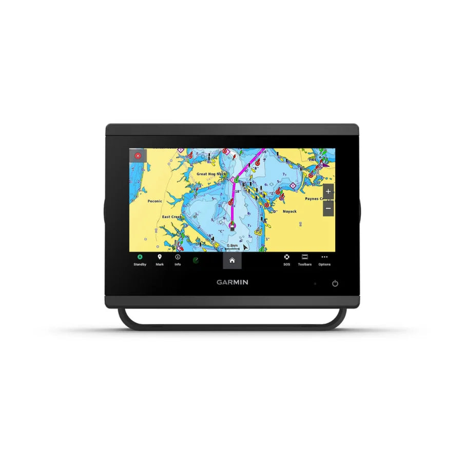
- Integrated Navigation and Mapping: The 7-inch touchscreen features Garmin Navionics+ inland and coastal mapping, Auto Guidance+ route-planning technology and a built-in 10 Hz GPS receiver.
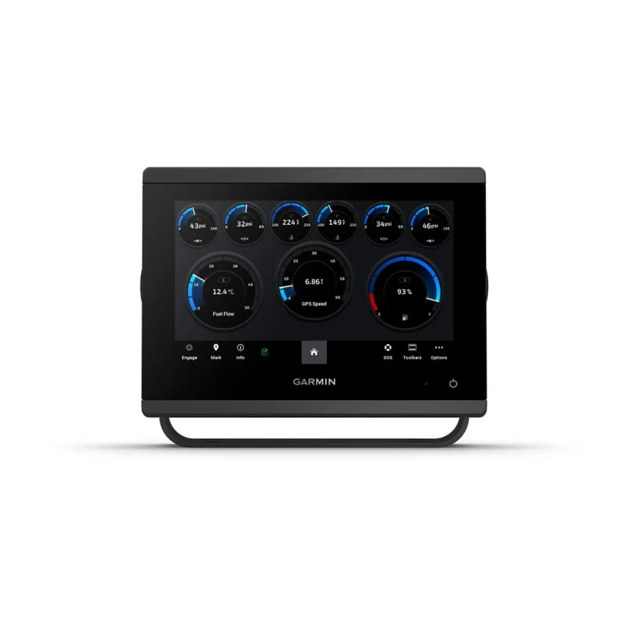
- Expandable Marine Electronics System: Support for compatible Garmin LiveScope and Panoptix sonar, Garmin Marine Network, NMEA 2000 and NMEA 0183 allows the chartplotter to become part of a larger onboard electronics setup.
The GPSMAP 743xsv is particularly well suited for bass, walleye and multispecies fishing where traditional sonar, side imaging, down imaging and detailed navigation charts are useful. Its 7-inch format also makes it practical for boats with limited console space.
EXPLORE THE GPSMAP 743xsv
ULTRA HIGH-DEFINITION SCANNING SONAR
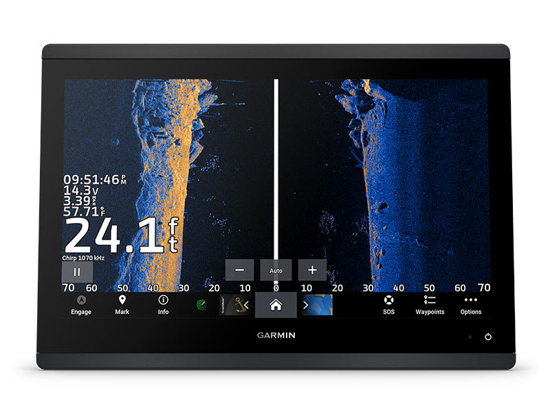
Built-in Ultra High-Definition SideVü and ClearVü scanning sonar uses high-contrast color palettes to help identify fish, vegetation and underwater structure. Traditional CHIRP sonar provides additional information directly below the boat. Compatible transducers are required.
GARMIN LIVESCOPE AND PANOPTIX SUPPORT
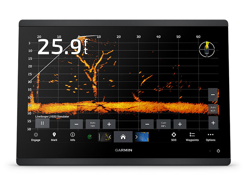
Expand your fishing electronics with compatible Garmin LiveScope or Panoptix systems to view fish movement and underwater activity in real time. Live sonar systems and their required components are sold separately.
COMPACT DESIGN AND RESPONSIVE PERFORMANCE
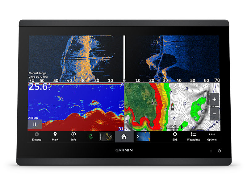
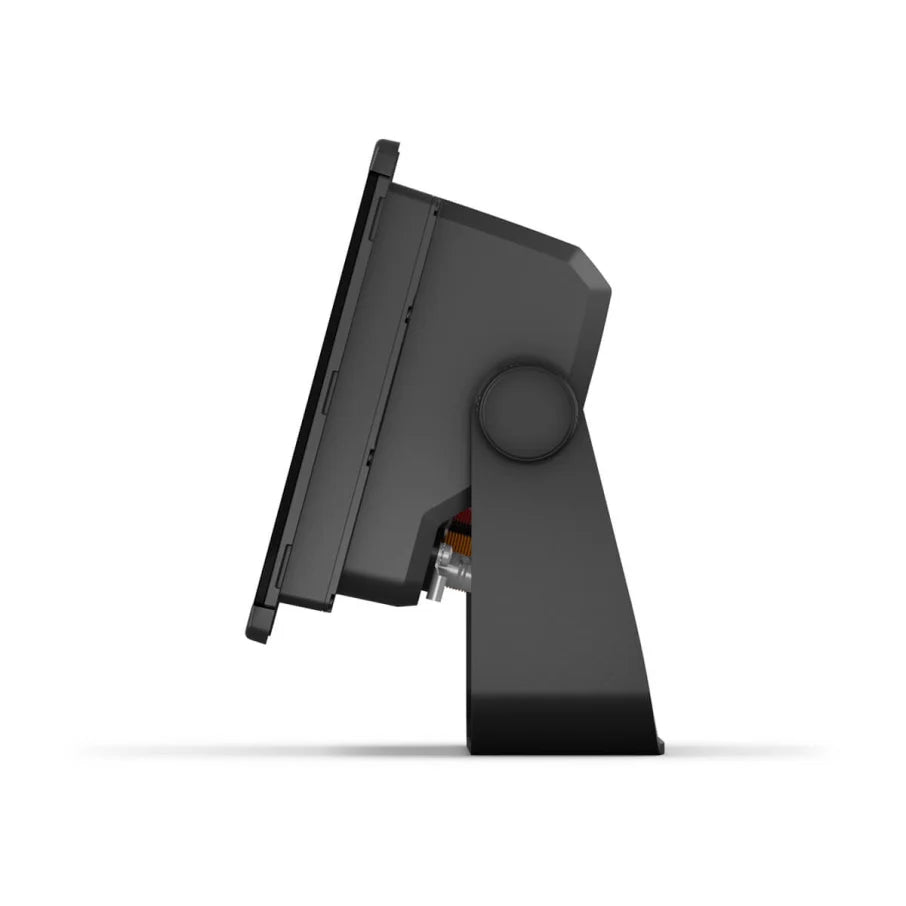
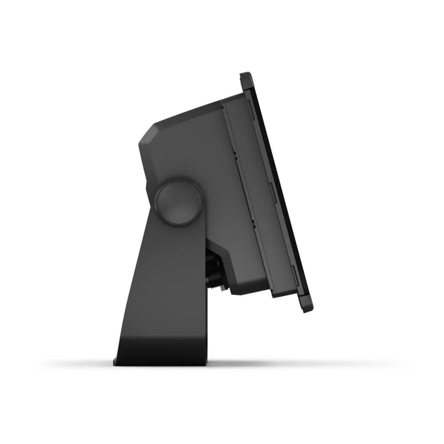
The GPSMAP 743xsv combines a compact design with a 7-inch WSVGA touchscreen featuring 1024 x 600-pixel resolution. Its edge-to-edge glass styling and flexible mounting options help accommodate different helm layouts.
GARMIN NAVIONICS+ MAPPING
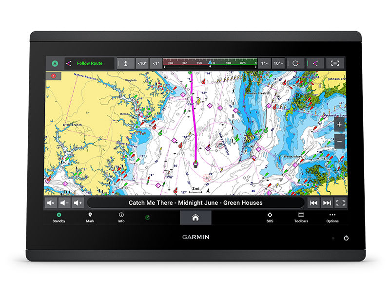
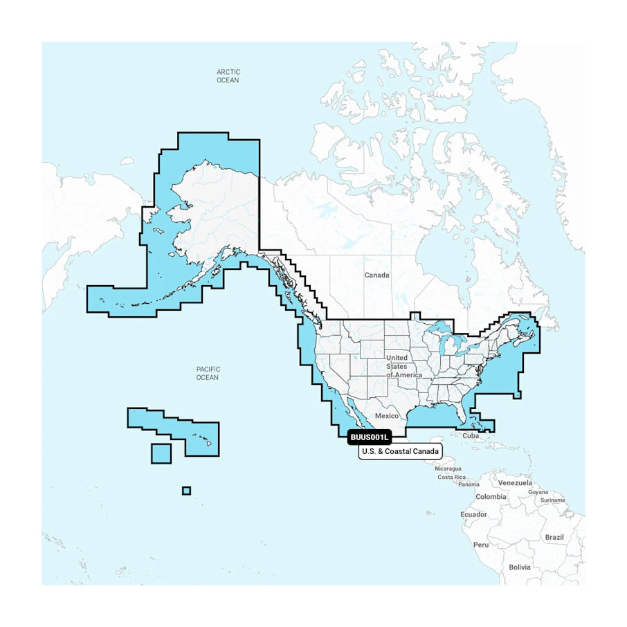
Navigate with integrated Garmin Navionics+ inland and coastal mapping and Auto Guidance+ technology. The chartplotter also supports Garmin Quickdraw Contours for creating personalized fishing maps. Mapping coverage and update subscriptions depend on the regional package.
OPTIONAL GARMIN NAVIONICS VISION+ CHARTS
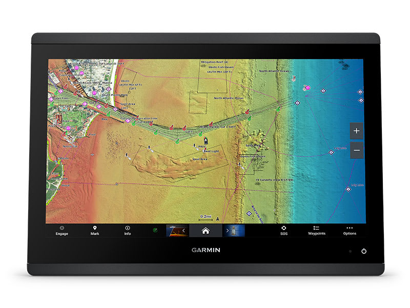
Upgrade to compatible Garmin Navionics Vision+ premium charts for additional mapping features, including high-resolution relief shading, satellite imagery and sonar imagery. Optional chart purchases or subscriptions may be required.
GARMIN FORCE TROLLING MOTOR INTEGRATION
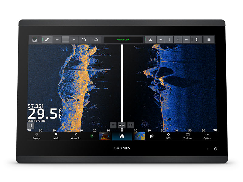
Connect a compatible Garmin Force trolling motor to access supported motor controls directly from your chartplotter. This integration helps manage boat positioning while fishing.
GARMIN MARINE NETWORK
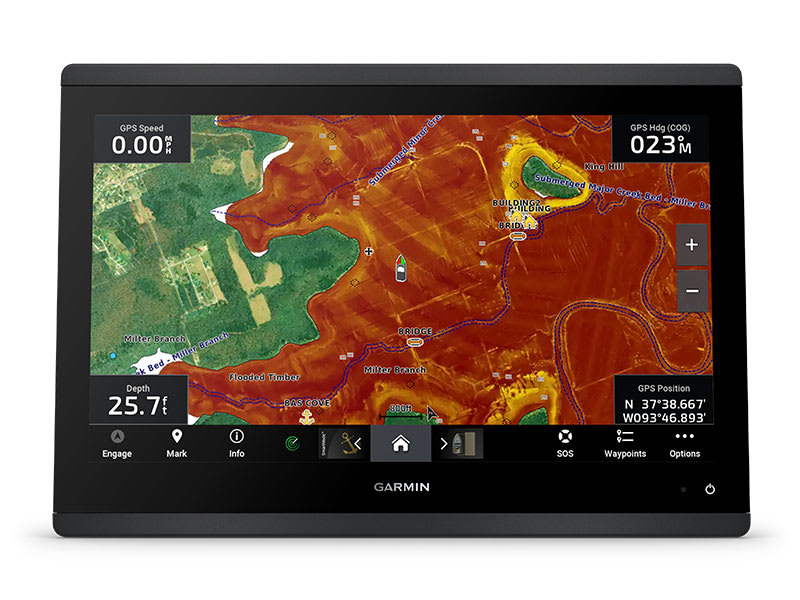
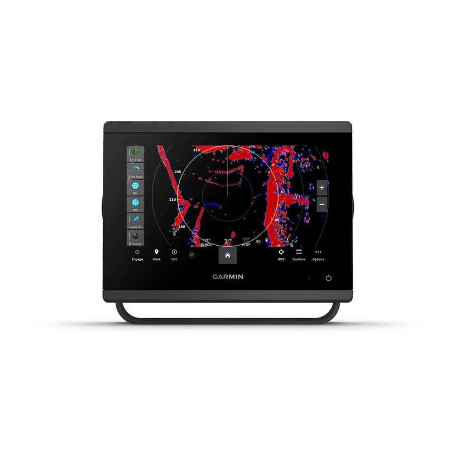
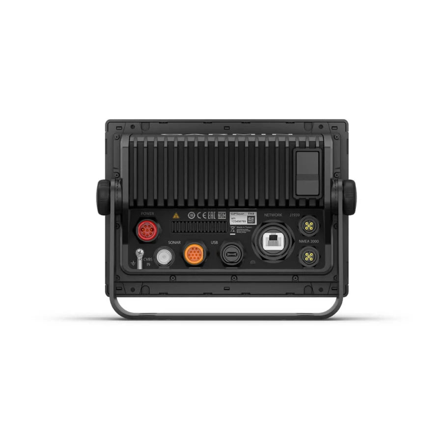
The Garmin Marine Network allows compatible devices to share information such as charts, user data, radar and supported IP camera video. The GPSMAP 743xsv includes one Garmin Marine Network port.
NMEA 2000 AND NMEA 0183 CONNECTIVITY
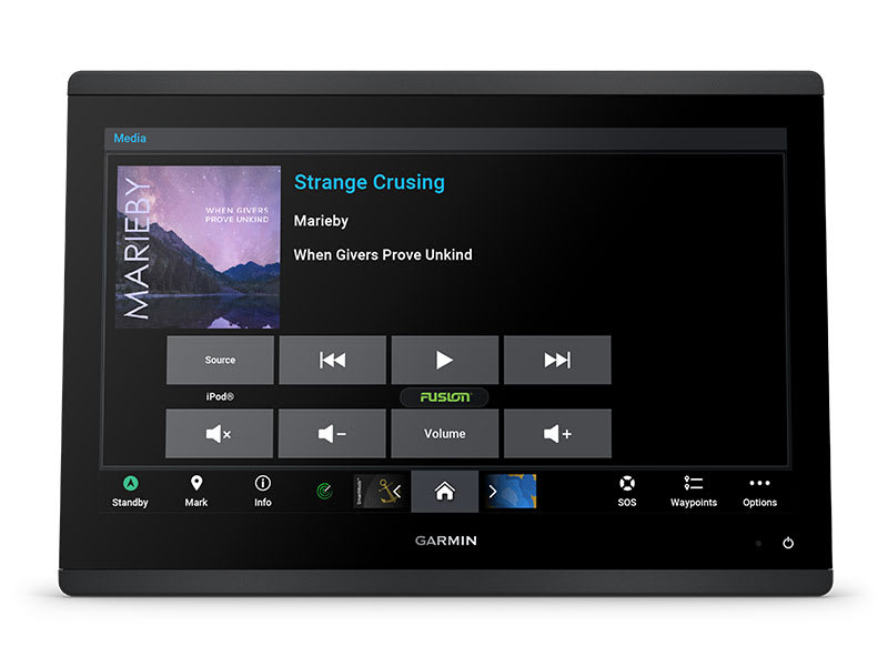
Connect compatible autopilots, VHF radios, AIS equipment, engine interfaces, Fusion audio systems and other marine accessories through NMEA 2000 and NMEA 0183 networking.
ACTIVECAPTAIN APP
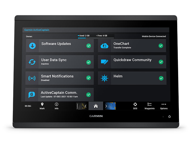
Built-in Wi-Fi connectivity provides access to the Garmin ActiveCaptain app on a compatible smartphone or tablet. Manage software updates, supported chart services, smart notifications and Garmin Quickdraw Community data.
ADDITIONAL FEATURES
- GPS, GLONASS and Galileo: Built-in 10 Hz satellite positioning receiver with WAAS support.
- Garmin Quickdraw Contours: Create personalized fishing maps.
- OneHelm: Integrate supported third-party onboard systems.
- Power-Pole Compatibility: Supports select shallow-water anchor and CHARGE system integrations with required equipment.
- Fusion-Link: Compatible with supported Fusion marine audio systems.
- Wireless Connectivity: Wi-Fi, Bluetooth and ANT technologies.
- Dual microSD Slots: Two memory card slots on the back of the unit.
- Water Resistance: IPX7 rating.
PRODUCT SPECIFICATIONS
- Brand: Garmin
- Model: GPSMAP 743xsv
- Display: 7-inch WSVGA touchscreen
- Display Resolution: 1024 x 600 pixels
- Display Area: 6.1 x 3.5 inches (15.4 x 9.1 cm)
- Dimensions: 7.6 x 5.5 x 2.9 inches (19.2 x 14.0 x 7.4 cm)
- Weight: 2.8 lbs (1.3 kg)
- Water Rating: IPX7
- Mounting: Bail, flush or flat mounting
- Sonar Power: 1 kW
- Traditional Sonar: Single-channel CHIRP, 50/70/83/200 kHz, Low, Medium and High CHIRP
- ClearVü and SideVü: Built-in 260/455/800/1000/1200 kHz
- Live Sonar Support: Compatible Panoptix and LiveScope systems
- Mapping: Garmin Navionics+ inland and coastal charts
- Optional Mapping: Garmin Navionics Vision+, TOPO 100K, Quickdraw Contours and raster charts
- GPS Receiver: Built-in 10 Hz GPS, GLONASS and Galileo
- Waypoints: 5,000
- Routes: 100
- Tracks: 50 saved tracks, 50,000 track points
- Memory Cards: 2 microSD slots
- Garmin Marine Network: 1 port
- NMEA 2000: 1 port
- NMEA 0183: 1 input and 1 output
- Transducer Connection: 1 x 12-pin port
- Video Input: 1 composite BNC
- J1939: 1 port
- Other Connections: USB, Wi-Fi, Bluetooth and ANT
- Power Input: 10–32 V DC
- Typical Current Draw at 12 V: 1.18 A
- Maximum Current Draw at 12 V: 2.96 A
- Maximum Power Usage at 10 V: 35.9 W
Important: Sonar operation requires compatible transducers. LiveScope, Panoptix, trolling motors, radar and other optional accessories are sold separately unless specifically included in the selected package. Flat mounting requires professional tools and installation knowledge; Garmin does not provide flat-mount hardware. Auto Guidance+ is a route-planning aid and does not replace safe navigation practices.